Access is sensitive
🔴 ACCESS WARNING: Walking along railroad tracks is trespassing, illegal and dangerous. Do NOT walk on railroad tracks; trespassing and any illegal activity associated with climbers will jeopardize acce... Read more
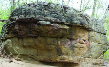
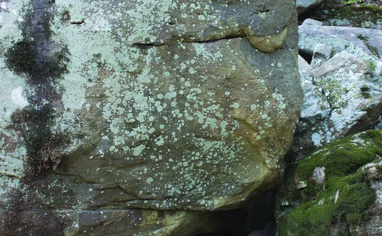
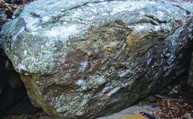
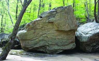
We like Casey Jones Boulders

Activities on this crag
Nearby crags


Access is sensitive!
🔴 ACCESS WARNING: Walking along railroad tracks is trespassing, illegal and dangerous. Do NOT walk on railroad tracks; trespassing and any illegal activity associated with climbers will jeopardize access to boulders. If you chose to use the rail corridor to access boulders, you must walk off the tracks and off the gravel that is private CSX property. The only tolerated exception is CAREFULLY crossing directly from one side of the tracks to the other, going from non-CSX property to non-CSX property. If you are near tracks, keep your eyes and ears open for trains and keep a large distance from the gravel. Trains are dangerous; coal and rocks often fall from or are thrown by trains. Trains can't stop. Don't make the conductor think they have any chance of running you or your dog over. Be respectful and polite to any railroad worker you see. This is VERY important to future access to all climbing areas near train tracks.
🔴 This area is water level dependent. The minimum level is 4.35ft. The landing for the problem "Casey Jones" goes under water just above that. You can find the current water level at this site:
https://waterdata.usgs.gov/monitoring-location/380649081083301/#parameterCode=00065&period=P7D
🚗 Driving - From Fayetteville, drive north on WV-16 heading straight through the intersection with US-19. Drive about 7 miles, and park on the just-wide-enough shoulder on your right immediately before crossing over the bridge across the New River. Be careful not to miss the parking, as the shoulder slowly widens around a curve in the road, becoming widest just as the bridge comes into view.
*** THE parking is around a blind curve, take care when exiting your vehicle. There is also limited parking for only a few cars. If there is no more room, please choose another climbing area for the day.
🚶♂️Hiking - From the parking area, hop over the guardrail and walk along it toward the river. Scurry down the talus to the railroad tracks. (Do NOT follow the trail into the woods, this old access trail crosses private property). Walk parallel the tracks UPstream (away from the bridge) towards a metal building next to the tracks. Just before the metal box, follow a faint trail that heads down towards the river and the boulders below the tracks. Be careful and respectful when crossing the tracks. This trail is short but starts out with a rocky scramble down to uneven but flat gravel walking to another short but steep trail down to the river. Once at river level the trail is mostly flat but with rocky sections. Total hiking time: 5 minutes to the first boulders.
*** THERE was an old trail that headed into the woods before dropping down to the tracks. This is across private land and should no longer be used for access.