
Access is sensitive
🔴 The Conflicted Boulders are HIGHLY water level dependent. Please see the "Description" page for river water level information. 🔴 ACCESS WARNING: Walking along railroad tracks is illegal and DANGEROUS... Read more
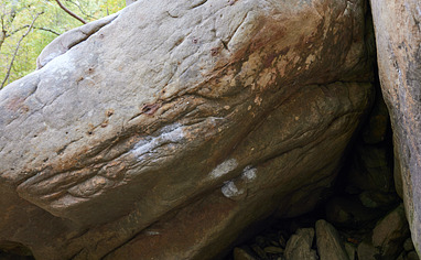
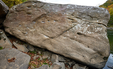
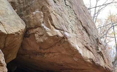
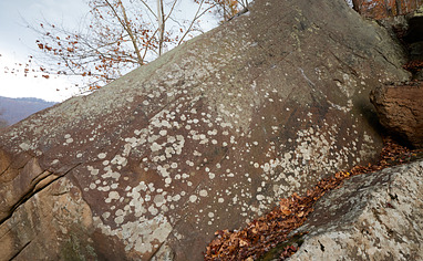
We like Nuttallburg - Conflicted Boulders

Activities on this crag
Nearby crags


Access is sensitive!
🔴 The Conflicted Boulders are HIGHLY water level dependent. Please see the "Description" page for river water level information.
🔴 ACCESS WARNING: Walking along railroad tracks is illegal and DANGEROUS. This not only includes the tracks themselves, but the cleared land around the tracks as well. If you happen to be near tracks, keep your eyes and ears open for trains. If one is approaching, get as far as possible from the tracks. This is not only the safe thing to do, it's the polite thing to do. Trains can't stop. Don't make the conductor think they have any chance of running you or your dog over. Be respectful and polite to any railroad worker you see. This is VERY important to future access.
🚗 Driving Directions:
Please note that Keeneys Creek Rd is a long, winding, steep, mostly gravel road and only wide enough for one vehicle. It is usually navigable carefully with all vehicles, however is not maintained in the winter and will need 4wd for any ice and snow. This road regularly washes out in the spring after heavy rains. The beginning of the road goes through a neighborhood and close to several houses with children and pets, so please drive slowly.
From Fayetteville - turn right and drive on US-19N and cross the NRG bridge. Take the second right after the bridge onto Lansing-Edmond Road. Follow Lansing-Edmond road around many curves and turns, eventually driving down a steep hill to the town of Winona. After 6 miles on Lansing-Edmond Rd, turn RIGHT onto Keeneys Creek Rd at the stop sign. The road terrain varies from pavement to gravel. As the road curves to the right, going from parallel Keeney Creek to parallel the New River, the road will turn from pavement to gravel. Pass a locked gate on your left, continue on the gravel a short ways as you lose elevation, look for a pullout on the RIGHT large enough for 3 to 4 cars, with a faint trail over the guardrail to your left. Park here.
From Summersville - Head SOUTH on US-19S. Drive about 18 miles (depending on where you turn onto US-19) and take exit for US-60 E/Midland Trail. Turn LEFT off the exit onto US-60 E/Midland Trail. Drive 4.4 miles then turn RIGHT onto Lansing-Edmond Rd. Drive 2.1 miles then continue STRAIGHT onto Keeneys Creek Rd. Follow this road to the parking pullout as described above.
🚶♂️Hiking Directions - Hop the guardrail and follow a trail down to the tracks. Carefully cross directly over the tracks for the Lollygag and Cherry Boulders. For Conflicted and adjacent boulders, walk parallel the tracks DOWNstream about 0.2 miles, until you find a small cairn marking the path down to the river. Watch out to avoid tripping on the old wiring along the trail between the tracks and the Conflicted cluster.