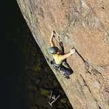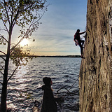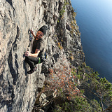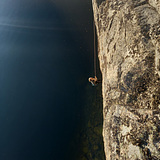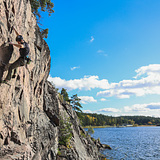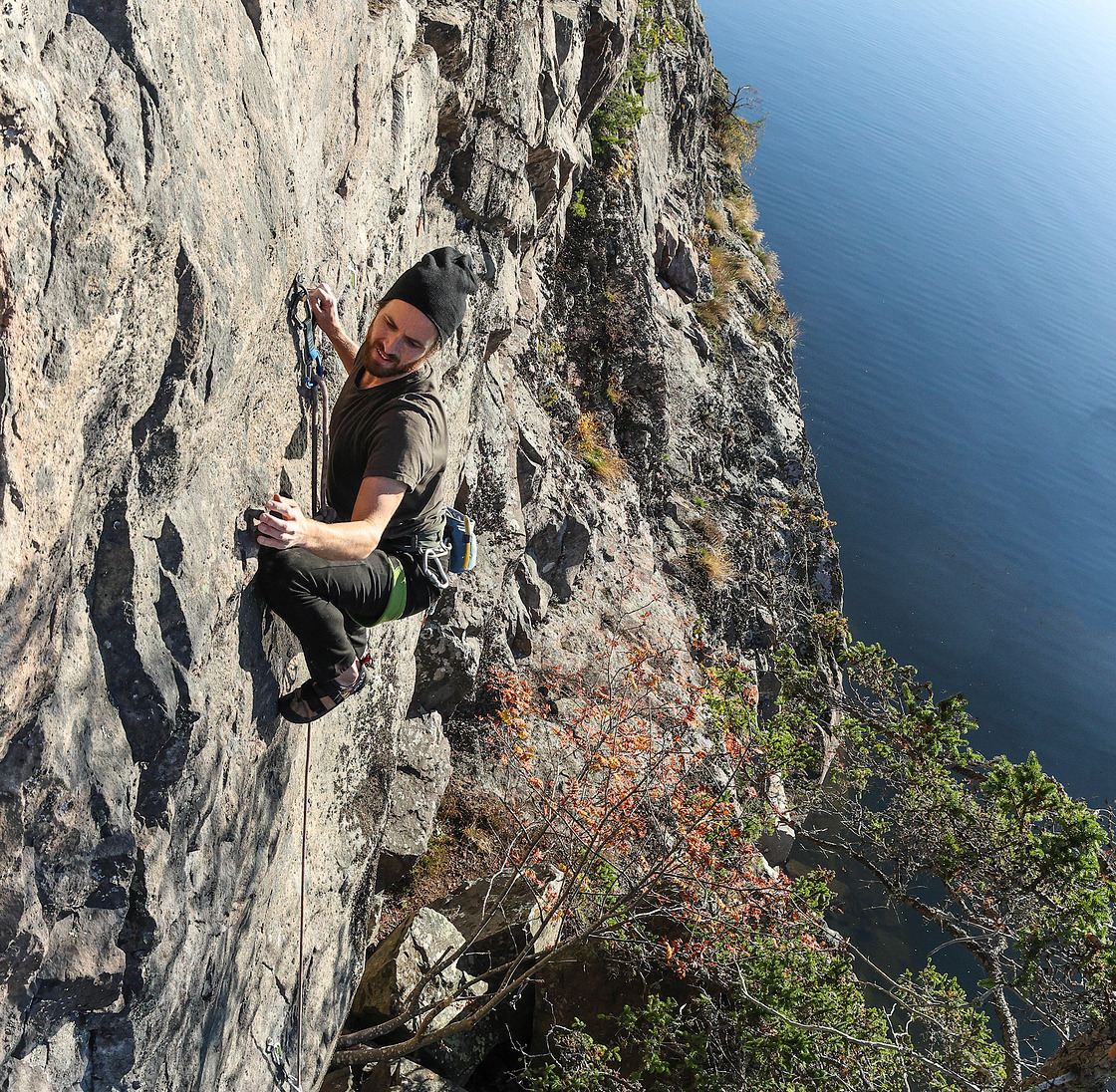

This south-facing wall on Lovön offers a first-class view of Lake Mälaren at Mörbyfjärden. It features over 25 mostly well-protected climbing routes, typically between seven and nine meters high, with a few reaching up to 13 meters. Most routes are graded between 5c and 6c, with the wall being mostly slightly less than vertical. However, there are also a few shorter, more intense routes with slight overhangs. The rock quality is generally good, with the right section being especially compact and solid.
Almost all routes are accessible by foot and start from the ground close to the water.
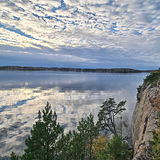
The sun strikes the rock from around 09:00 in the morning and doesn't leave until it disappears below the horizon in the evening. The rock is mostly completely open to the sun, and on windless days winter climbing should therefore be possible. The wall dries very quickly after rain. The location is pleasant and invites you to hang out on the rocks by the crag and the water.
You can access the wall via a simple down climb about 70 meters to the south of the wall, from where a ramp down at the water's edge leads to the face. If you prefer to rappel down this is also easy as there are stable trees next to the edge, but you may also use some of the old anchors scattered along the cliff. The walk from the parking lot to the crag takes about 15 minutes and goes along a very nice path.
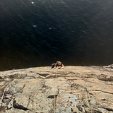
The proximity to the waterworks and the nature reserve means that you are not allowed to moor a boat or swim right by the cliff, or drill any new holes in the rock (the nature reserve was established in 2014). You can, however, take a dip a little further north along the water.
Note that Google Maps usually suggests a different wrong route if you just tap on the parking icon. The directions may lead you to the car park via an unauthorized road through the waterworks area. Please read the written description on the access page!
Three different sectors divide this crag, all located close to each other.
Sjöväggen:
Seven to maybe a maximum of about fifteen meters high. Mostly ok/good rock quality. The angle is just below vertical. All routes except one start from firm ground. The route on the far left starts above the water and you need to rappel down if you want to climb that one. This sector is located on the far left down by the water and you can access it by walking down the described path some 70 meters south of the walls (same as Kalahariväggen).
Kalahariväggen:
Seven to eight meters high. Very compact and solid rock. Short fun and slightly bouldery routes that sometimes are a tiny bit overhanging. Also located down by the water (next to Sjöväggen).
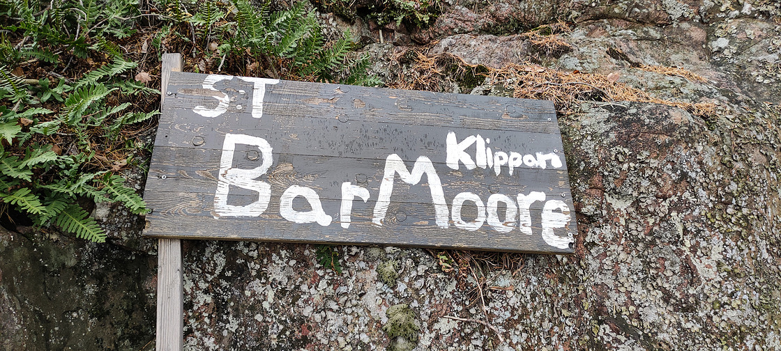
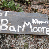
S:t Bar Moore-klippan:
This is a rather small wall but with a fairly good height (about 10 meters). The crag is just below vertical. Located immediately above Kalahariväggen.